Need an Alta Land Survey? Get It Made With HD Scanners
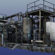
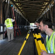
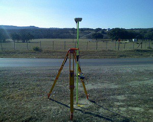 To assist our clients in designing and executing projects in the most efficient way possible, Landpoint relies on the very latest high definition scanning technologies when creating an ALTA land survey. These innovative technologies help our project managers and outside engineers and architects visualize all the components of any site or facility, and it allows us to make better decisions based on the building conditions.
We utilize high definition scanning to meet a variety of professional land surveying needs, including pre-project scanning, the creation of traditional 2D drawings, change detection, catastrophic event mapping and accident reconstruction, and it is particularly helpful in completing scans for ALTA certification.
Using high definition laser scanning, we can complete a field survey for ALTA certification in just one day. In less time than ever before, we can produce fully interactive 3D models, maintenance materials and detailed animations, including complete fly-trough’s alongside the traditional materials expected from an ALTA land survey.
As a professional land surveying firm, high-def laser scanning benefits our clients in many ways:
Reduced Cost
Using the technology significantly reduces the amount of field visits our team has to make to collect data. This cuts the overall cost to you, resulting in more cost-efficient projects.
Future Planning
The data we collect through high definition laser scanning is not just valuable for your current projects, but can be saved and used for your future projects as well. The accurate, detailed data makes future planning far easier.
Quality Assurance
The data collected using high definition scanning is highly accurate. This ensures that your project will be based on the most solid knowledge of your site.
Speed
High definition laser scanning enables us to collect accurate data more quickly than ever before. Instead of taking weeks or months to complete your project, we can have it finished in just days.
This technology gives project managers insight into their locations that was never available before. The result is better project planning, easier decision making and overall more successful projects.
To learn more about getting an ALTA land survey and how HD laser scanning can benefit you, contact us today!
Image By – survcentex

