Professional Land Surveyors Helping Reduce the Risk of Drilling Dry Wells
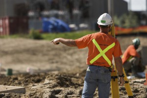 GIS technology is critical when mapping well sites for drilling operations. The cost of drilling a dry well can quickly eat into an operation’s budget. However, a professional land surveyor can use GIS mapping to leverage central geological and physical datasets to help analyze, summarize, and make determinations more effective planning.
Finding the Right Location
Geologists typically analyze the prospective well drilling area by checking rock and soils types, land terrain, as well as the gravitational and magnetic area fields. Geologists perform seismic surveys and test for hydrocarbons in and around the site. Seismic surveys are not fool proof as they may find what appears to be an excellent reserve trap but which may turn out to be dry when drilled. Dry holes are the lack of charging or breaching of previously charged reservoirs where the hydrocarbons have escaped. Geochemical soil gas surveys used in conjunction with seismic surveys can significantly improve successful hydrocarbon exploration ratios and reduce “dry hole” risk.
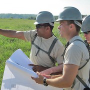
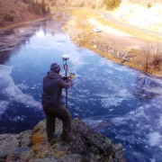
Once geologists select the prospective well drilling location, surveyors are called to stake the well site. It is the job of professional land surveyors to prepare 2D and 3D mappings. A plat map, stamped and signed by one of the licensed land surveyors, showing the staked well location is required by various states prior to drilling. This provides insurance of the correct location, to the best of the geologist and land surveyor’s knowledge. Erroneous information may result in the drilling company losing the ability to hydraulically fracture all segments of the downhole well lateral, or encounter a dry well. It is not uncommon for a well to be relocated several times on the surface before drilling. Accurate documentation is vital.
Prior to Drilling
The drilling site must be prepared and free from hazards. The professional land surveyors should conduct a line location survey in preparation to level the drill site as well as for the excavation of the reserve and settling pits. Access roads and the drill pad must be staked and prepared prior to commencing drilling operations.
Cost and Consequences of Dry Drilling
Drilling risks may be moderate to high depending on the proximity of drilling to existing producing wells. Wildcat or high risk drilling occurs greater than 1.5 miles from the nearest producing oil well or 3 miles from the nearest producing gas well. Conversely, low risk, developmental drilling operations, are within half a mile of oil or within one mile of gas wells already drilled and producing. Geochemistry is not as critical, but is useful in determining where blind compartments of stratigraphic traps lie. Outpost drilling offers moderate risk. Drilling is located within 0.5 – 1.5 miles of the nearest producing oil well or 1-3 miles to the nearest active gas well. Geochemistry is a cost efficient means of locating the extreme limits of newly-discovered fields.
When GIS tools are not used during analysis, dry drilling can occur. Dry drilling is loss of circulation and fluid. Although the well is bored, the fluid does not rise to the top. Operation losses may be as little as a broken drill bit or as major as a damaged wellbore, drill string, snapped pipe, or damaged rig. In terms of barrels per day and revenue, a “minor loss” is considered to upto 470 barrels in a 48 hour period. Severe losses exceed 470 barrels or occur when fluid gushes to the surface and is wasted or lost.
To learn more about how experienced professional land surveyors can help with oil and gas projects, download our free ebook about modern land surveying technologies.

